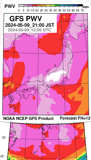
The figure below illustrates precipitable water vapor (PWV/TPW) derived from NOAA NCEP GFS forecast output for comparison with GNSS-based PWV.
These figures are generated as part of the YRAIN Project :
- North America Precipitable Water Forecast Map in YRAIN
- Japan Water Forecast Map in YRAIN
Comparison against short-range numerical model forecast output and/or analysis fields allows real-time and near–real-time verification of GNSS precipitable water vapor products.