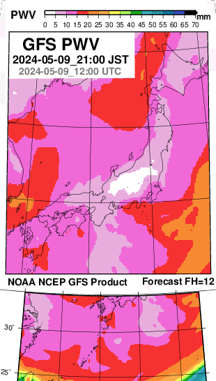
The figure below shows a precipitable water vapor (PWV/TPW) distribution based on NOAA NCEP GFS forecast output, used for comparison with GNSS-derived precipitable water vapor.
For forecast precipitable water animations, please see “ Japan Water Forecast Map” on YRAIN.
Related Product (Amazon)
The Book of Clouds by John A. Day (Author)
